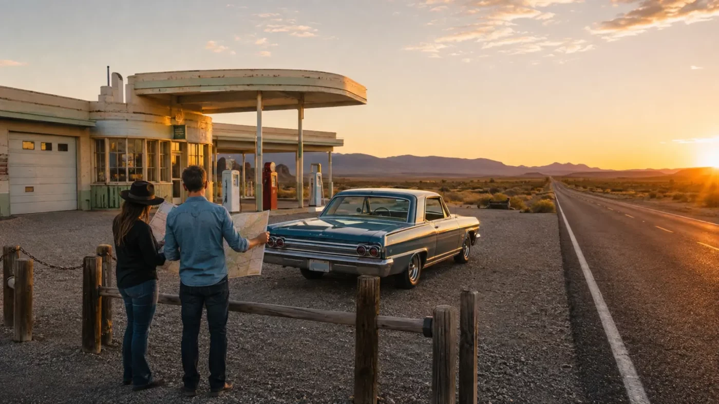
At a glance: How to build a roadside-history itinerary around public museums, districts and lawful viewpoints.
Route 66 storytelling works best when the road itself is treated as a network rather than a checklist of decaying buildings. Pavement, alignments, signs and operating businesses all carry history.
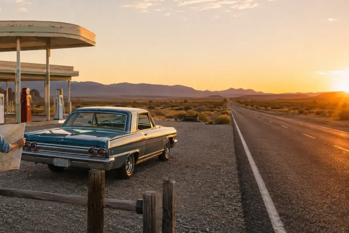
How the place took shape
Choose publicly interpreted historic districts, museums and preserved service stations. Read National Register documentation before travel so architectural details have context.
Plan fuel, water and mobile coverage across remote western sections. Never stop on an active roadway or cross fencing to recreate an online photograph.
Why the community changed
Support operating local businesses. Heritage tourism can help a bypassed community retain services, but only when visitors respect residents and property.
Compare old and new alignments to understand why traffic moved. A map can explain a closed motel more effectively than speculation about an owner.
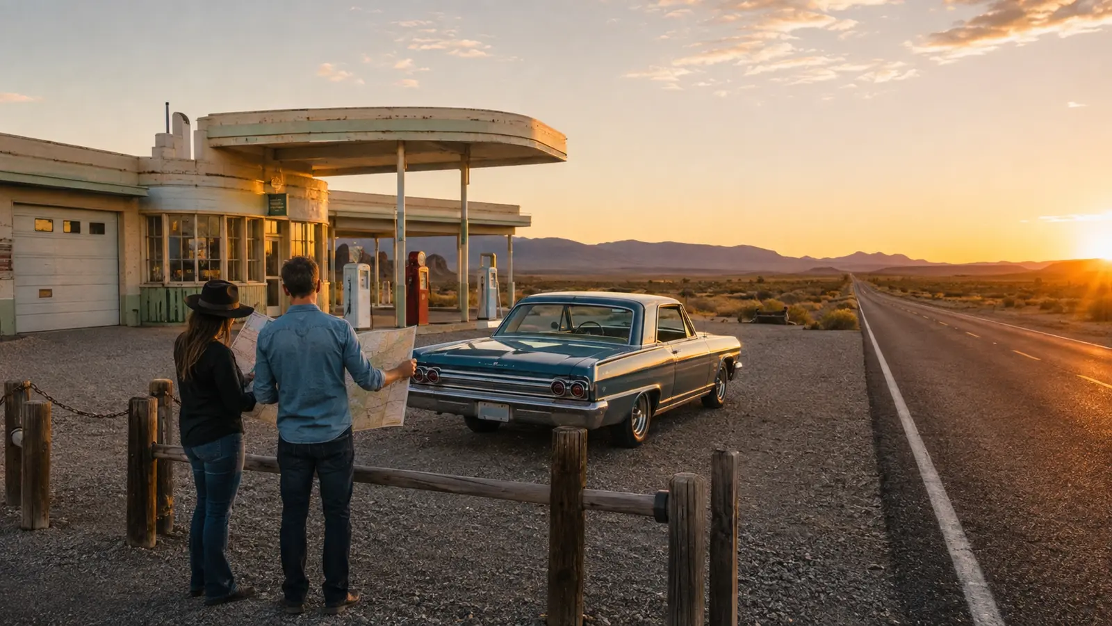
What remains today
Glenrio is a particularly clear example of a state-line Route 66 community changed by the Interstate 40 bypass.
Conditions and ownership change, so use current state transportation, park and local tourism sources alongside historical records.
Why this story matters
A safe trip produces better material: maps, lawful wide views, oral history and local museums offer a fuller story than unauthorized interiors.
Places like this are often reduced to a single dramatic label—ghost town, ruin, failure—but the physical remains tell a more complicated story. Economic decisions, transportation networks, natural resources and public policy all shape whether a community grows, adapts or disappears. Reading the landscape carefully means remembering that these were workplaces and homes before they became destinations.
Primary reference: https://www.nps.gov/places/glenrio-historic-district.htm. This article summarizes public-history information in original language and adds editorial context; it does not reproduce the source text.