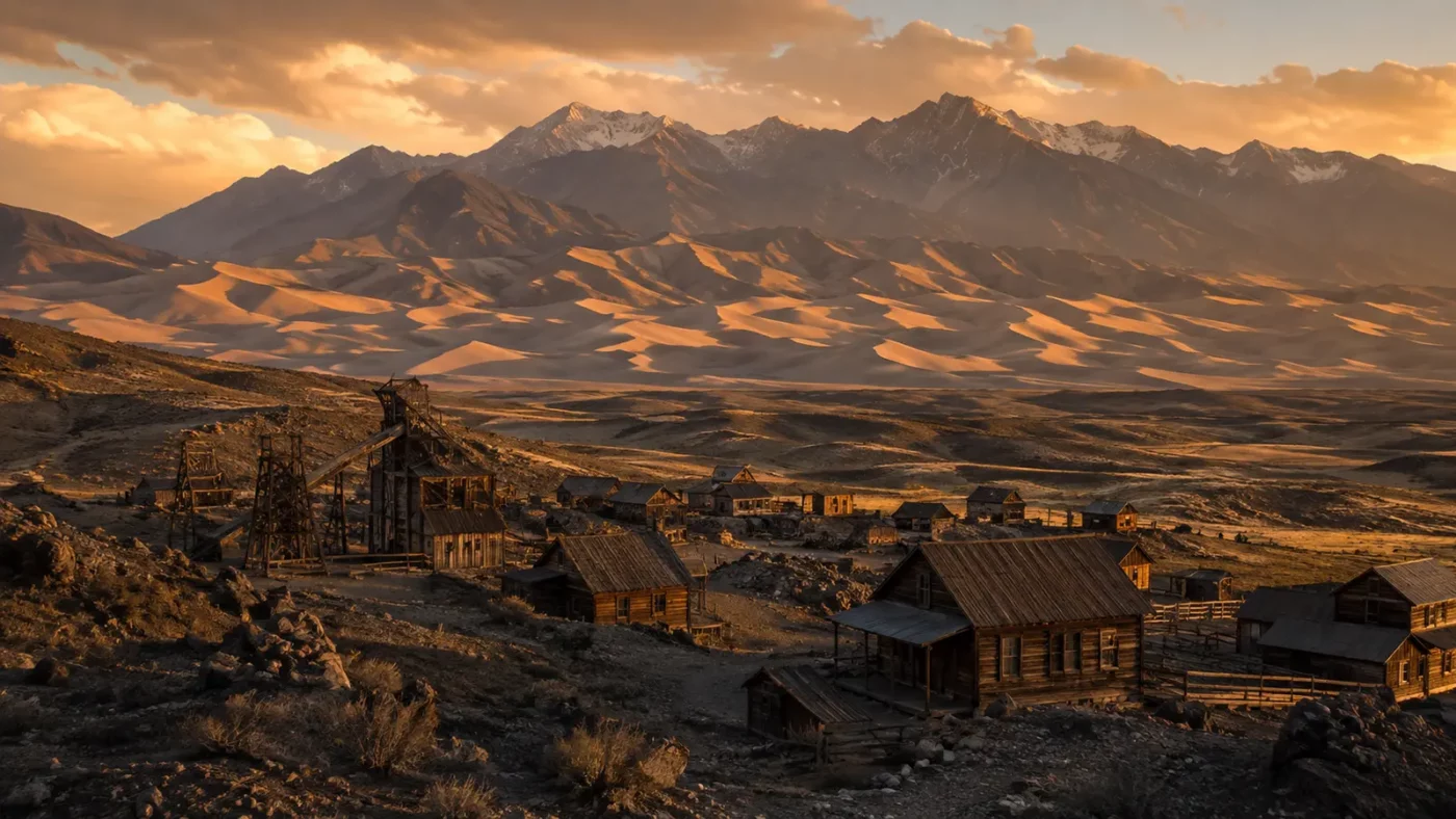
Beyond the famous Colorado dunefield, photographs preserve hotels, homes, schoolchildren and miners from two communities that almost vanished from the landscape. Liberty and Duncan were built from the promise of gold.
One town ended after a property dispute reached the Supreme Court; the other became a second chance for displaced residents. Their linked histories are more complicated than a familiar failed-boomtown story.
The towns hidden behind the famous dunes
Great Sand Dunes National Park and Preserve is known for moving sand and mountain views, not urban ruins. Yet north of the dunefield, miners and families once tried to build substantial communities in the foothills of the Sangre de Cristo Mountains. Duncan and Liberty had houses, stores, schools and travel connections. Their history survives through family photographs, archival records and scattered foundations rather than a row of preserved storefronts. That evidence reveals an overlooked human landscape beside one of Colorado’s most recognizable natural landmarks.
The two towns are related, but they did not simply rise and disappear for the same reason. Duncan began around John Duncan’s mining promotion and was ended by a land conflict that reached the United States Supreme Court. Liberty was founded by some displaced residents and lasted longer, then weakened when its gold prospects failed to match the publicity. Read together, the towns show that a boom is shaped by law, ownership and marketing as much as by what lies in the ground.
John Duncan sells a vision of gold
According to the National Park Service, 23-year-old John Duncan crossed the Sangre de Cristo Mountains in 1874 searching for gold. He found small amounts of ore in the foothills north of the dunes and advertised the discoveries to regional newspapers. Duncan never became wealthy from mining, but he sold town parcels for $75 apiece, a significant amount at the time. Promotion turned an uncertain prospect into a destination, drawing people who believed the district might support work, property and a future.
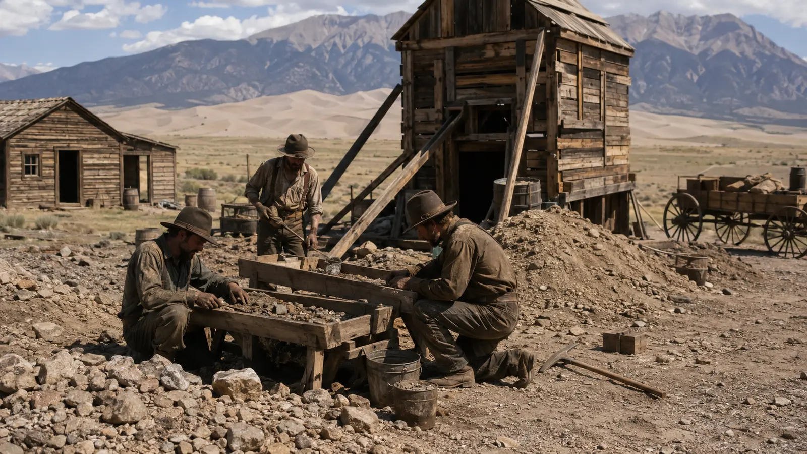
By the 1890s, Duncan was more than a rough prospectors’ camp. The town reportedly had a hotel, restaurant, grocery, general store, clothing store, livery, bakery, bathhouse and newspaper. The park estimates that the peak population may have reached 3,000. Historic photographs include families and children, reminding viewers that adults made long-term decisions based on the mining story. A hotel room or bakery counter may look ordinary, but each represented capital invested in the belief that the community would continue growing.
A property dispute ends Duncan
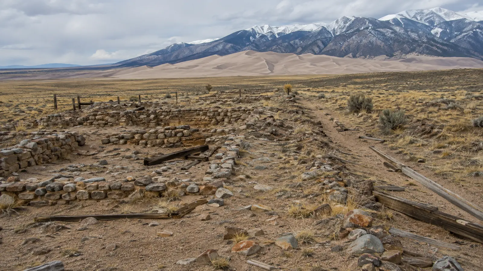
The boom unfolded on land associated with the Baca Ranch. Owner George Adams objected to settlers entering the property and removing mineral resources. The dispute eventually reached the U.S. Supreme Court, which ruled in Adams’s favor. In 1900, U.S. marshals arrived to remove residents. The National Park Service account describes armed resistance and marshals blowing up cabins during the confrontation. By the end of that year, Duncan’s last residents had left, and many buildings were dismantled until mostly rock foundations remained.
Duncan therefore did not fade solely because its mines disappointed investors. A legal determination about who controlled the land abruptly changed whether the community could remain. That distinction matters when telling the story. Calling it just another failed gold town would erase the conflict between settlement, promotion and property rights. It also explains why old foundations cannot be treated as ownerless space today. The history of the site has always involved contested access, and current visitors must recognize that the land surrounding former towns can still be privately held.
Liberty offers a second beginning
Some former Duncan residents moved several miles south, beyond the disputed Baca property, and established Liberty. Its name reflected the freedom residents associated with their new location. The settlement developed regular stagecoach and mail service, a hotel and a school with two teachers. Photographs show large homes, porches, families and children’s belongings. These were not people merely waiting beside a mine shaft; they were recreating a community after displacement and expected education, transport and hospitality to support everyday life.
Liberty boomed for more than a decade, but the gold prospects were never as rewarding as promotional claims suggested. Without reliable production, employment and investment declined. Residents moved away, leaving only a few structures. The arc from Duncan to Liberty is therefore both resilient and sobering: families rebuilt, but a new town could not escape the basic economics of its mining district. Their dreams were real even when the ore did not provide the durable foundation promised in newspaper reports.
Learning without trespassing
Most of the Liberty townsite is private property and is not open for unrestricted exploration. Duncan’s surviving cabin has been restored by the U.S. Forest Service, but that does not make every nearby trace public. Visitors should use Great Sand Dunes exhibits, official waysides and archival photographs to understand the communities, and they should never cross fences or follow unofficial location posts onto private land. Foundations and artifacts must remain undisturbed; their position is part of the evidence archaeologists and historians use.
Liberty and Duncan reward a different kind of attention from a conventional ghost-town trip. Their strongest images include people, schools and homes, not only collapse. The dunes in the distance remind readers how visually small a town can become once its streets disappear, while the records recover the decisions that filled those streets. By connecting mining promotion, a Supreme Court ruling, forced removal and an attempted new start, the story becomes more accurate—and far more interesting—than a simple caption about empty buildings in Colorado.
Primary reference: National Park Service — Liberty, Duncan, and Denton Spring. This article uses original wording and editorial analysis rather than reproducing the source text.