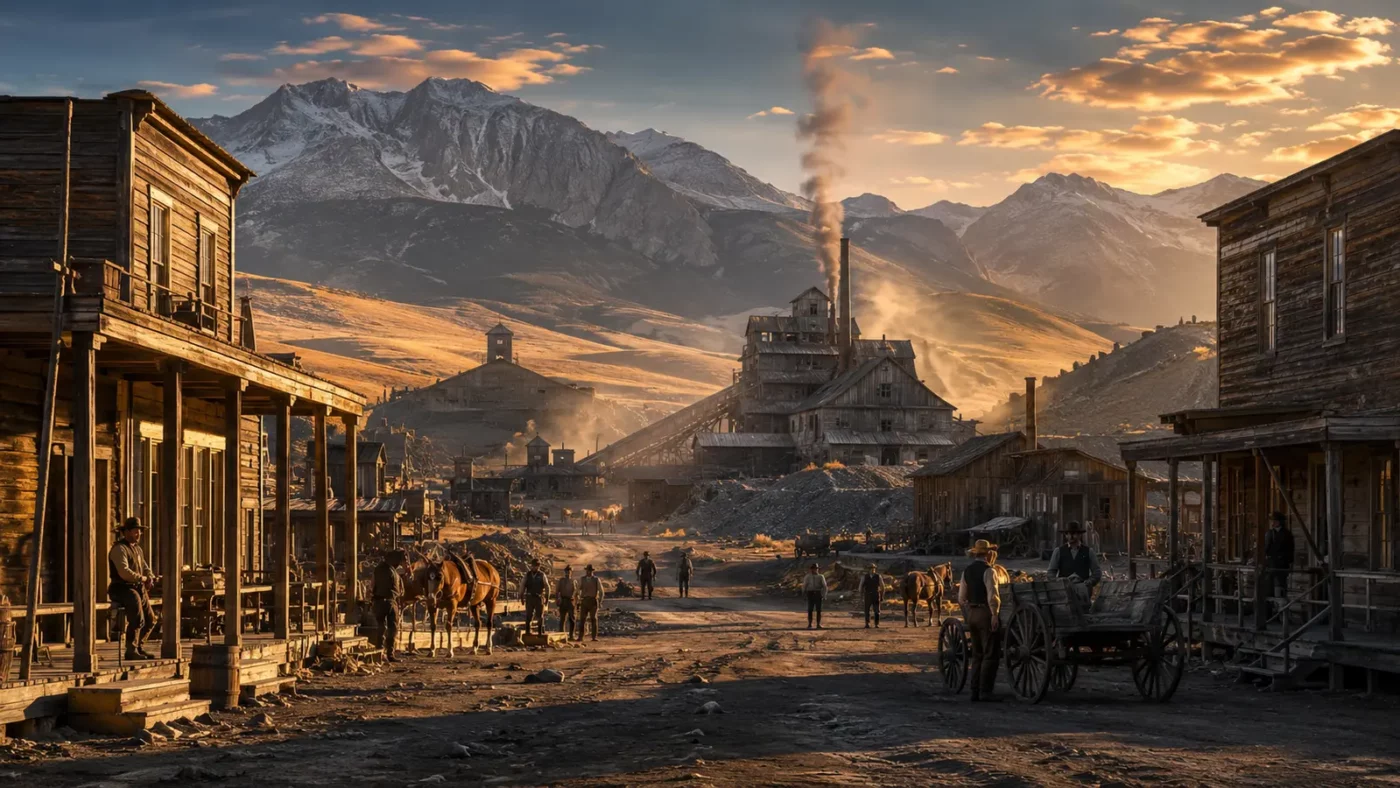
At a glance: A former gold-mining center recorded by Arthur Rothstein for the federal government.
Pony’s 1939 photographs include an ore mill, assay office, bank, church, shops and homes. Together they describe a complete community rather than a scattered camp.
How the place took shape
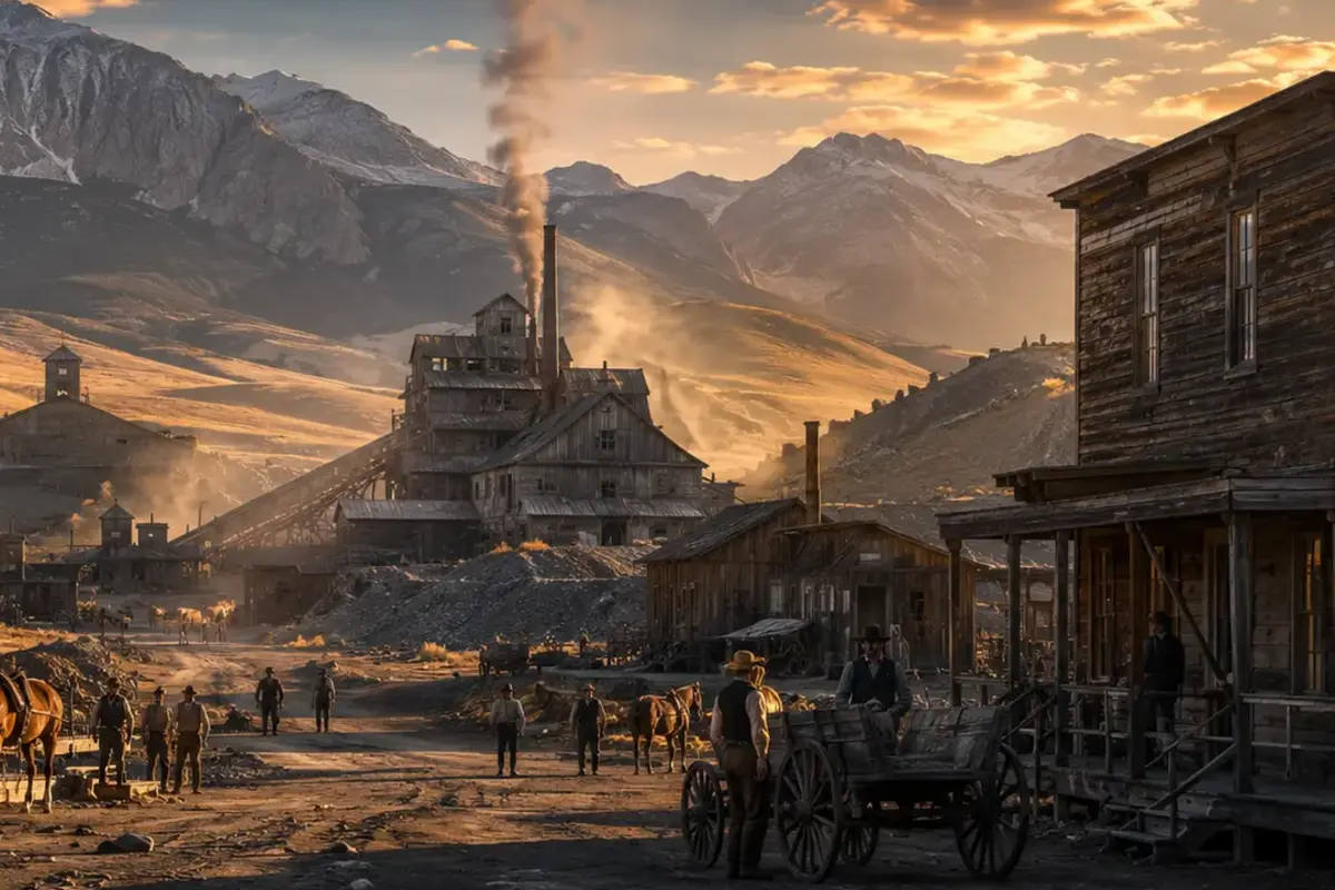
Gold mining brought investment and population to the Montana site. Processing buildings and substantial houses reflected periods of prosperity.
Commercial and religious buildings show how mining wealth produced civic life. Residents formed relationships to place that lasted beyond the strongest production years.
Why the community changed
As mining declined, businesses closed and population fell. Some residents remained, including descendants of prosperous pioneer families photographed by Rothstein.
The archive freezes a particular stage of transition: buildings were abandoned, but memory and occupancy had not disappeared.
What remains today
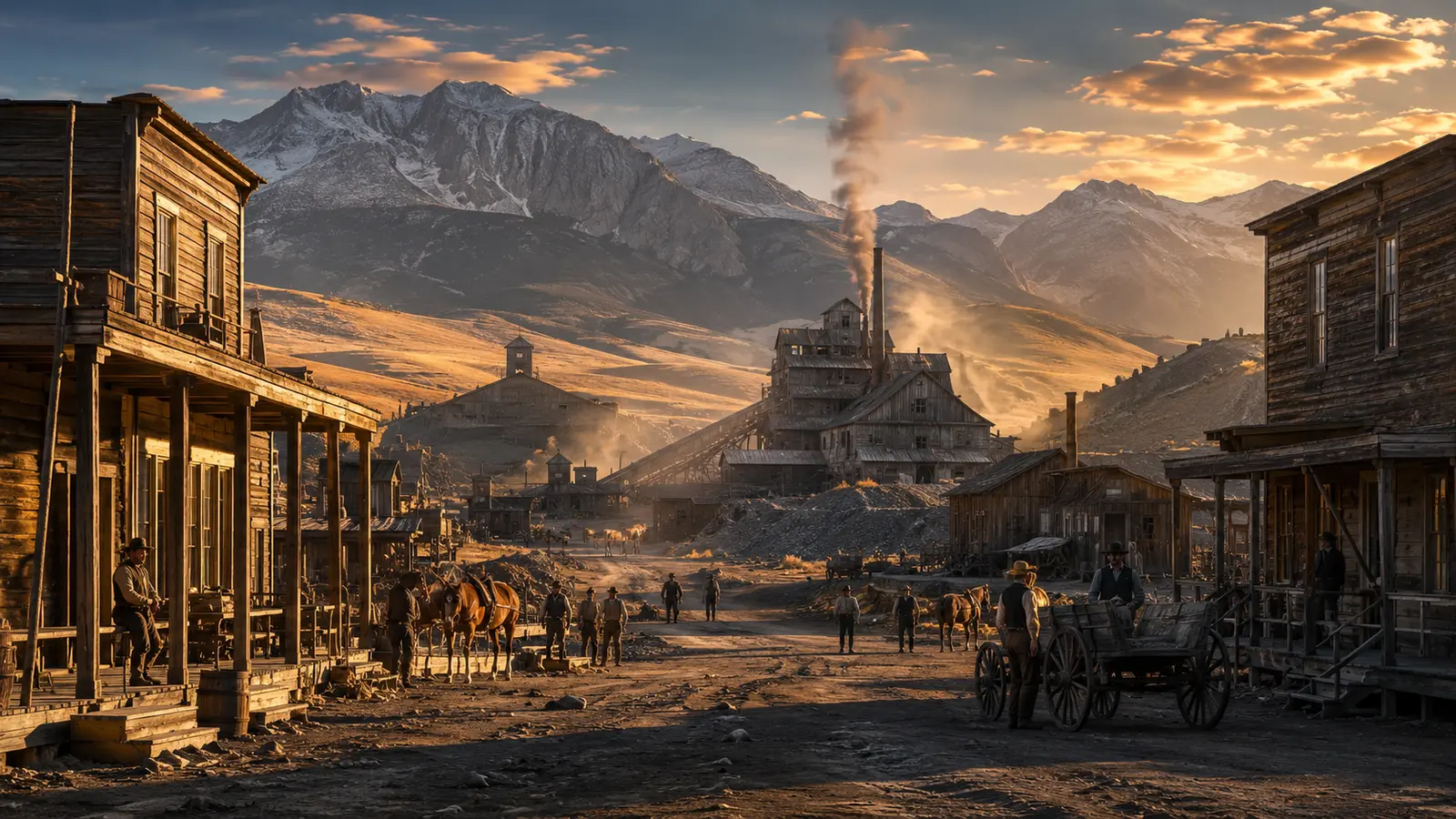
The Library of Congress preserves twenty-one photographs from the Farm Security Administration project, with a rights statement of no known restrictions.
Current conditions and property boundaries may differ greatly from the 1939 record. Historical documentation is not permission to enter any building.
Why this story matters
Pony demonstrates the value of a photographic series. Multiple views reveal class, labor and domestic life more accurately than one dramatic ruin image.
Places like this are often reduced to a single dramatic label—ghost town, ruin, failure—but the physical remains tell a more complicated story. Economic decisions, transportation networks, natural resources and public policy all shape whether a community grows, adapts or disappears. Reading the landscape carefully means remembering that these were workplaces and homes before they became destinations.
Primary reference: Library of Congress — Pony, Montana. This article summarizes public-history information in original language and adds editorial context; it does not reproduce the source text.