At a glance: How faster roads redirected travelers and transformed roadside economies.
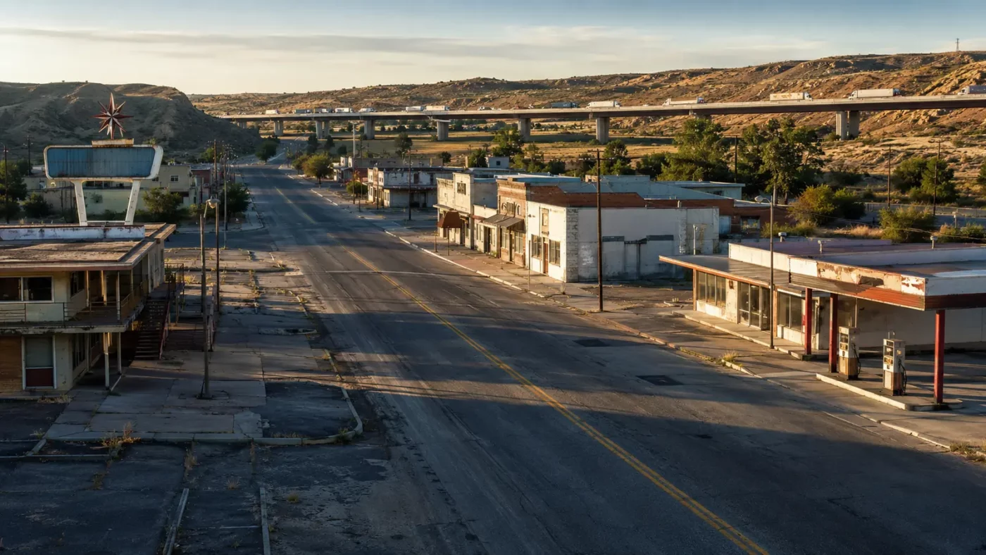
Before controlled-access interstates, major highways often ran directly through town centers. Drivers encountered gas stations, diners, cabins, shops and local signs because slowing down was built into the route.
How the place took shape
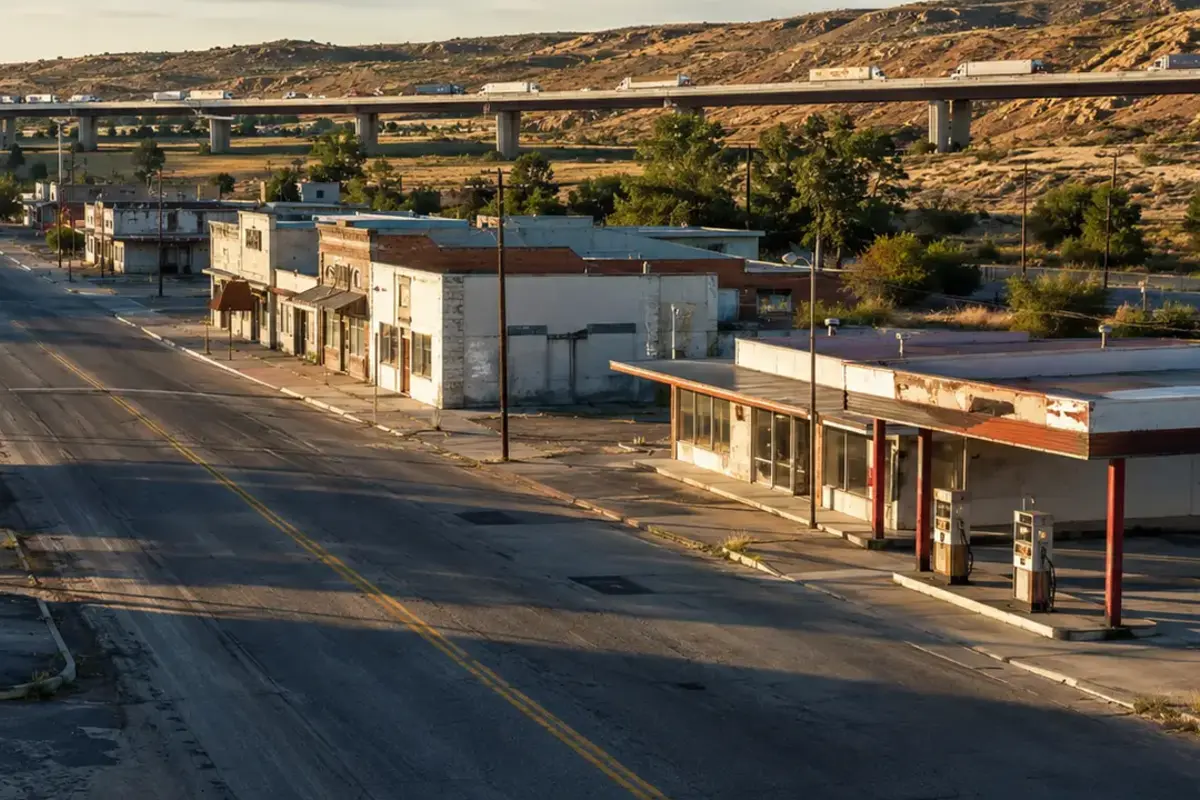
Roadside businesses made location their primary asset. A family enterprise could survive on a small share of the vehicles passing its door.
Interstates prioritized speed, grade separation and limited access. When a new alignment bypassed an older road, traffic could disappear almost immediately.
Why the community changed
Some communities adapted by connecting to an interchange or promoting heritage tourism. Others lacked an exit, capital or enough local demand to replace through travelers.
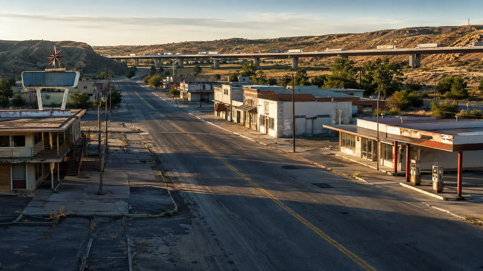
The empty motel is therefore part of a larger transportation system. It records where mobility once paused and where it no longer does.
What remains today
Glenrio offers a well-preserved case: Route 66 supported the town until Interstate 40 bypassed it in 1975.
Travelers exploring historic roads should use lawful turnoffs, respect operating communities and avoid stopping unsafely for photographs.
Why this story matters
Bypassed towns reveal that infrastructure creates winners and losers geographically. A line on an engineering plan can become an empty main street.
Places like this are often reduced to a single dramatic label—ghost town, ruin, failure—but the physical remains tell a more complicated story. Economic decisions, transportation networks, natural resources and public policy all shape whether a community grows, adapts or disappears. Reading the landscape carefully means remembering that these were workplaces and homes before they became destinations.
Primary reference: National Park Service — Glenrio Historic District. This article summarizes public-history information in original language and adds editorial context; it does not reproduce the source text.