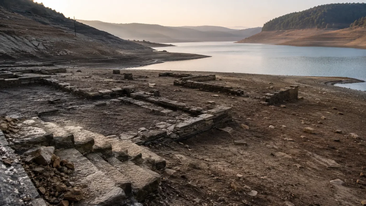
A receding reservoir can produce an astonishing view: walls and road traces returning to daylight after decades underwater. But describing the scene as a forgotten town suddenly rediscovered leaves out the families, records, and museums that remembered the place all along.
Towns beneath reservoirs are stories of planned transformation. They connect the broad benefits of dams with concentrated local displacement, and they require careful attention to what was moved, demolished, left in place, or later exposed by changing water levels.
Every reservoir covers an earlier geography
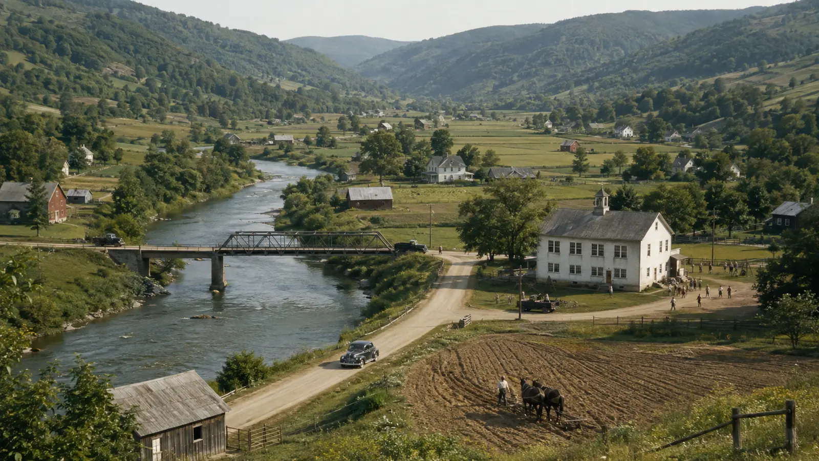
Before a valley became storage capacity on an engineering map, it contained relationships among water, roads, farms, homes, workplaces, and gathering places. Rivers supplied fertile ground and transportation while also bringing floods. Towns grew at crossings and on low land for practical reasons—the same locations most likely to be affected when a dam later changed the watershed.
A submerged-town story should therefore begin before construction. Who lived in the valley? How was land used? Which Indigenous histories predated the mapped settlement? Where did roads lead, and what connected the town to neighboring communities? These questions replace the misleading idea that engineers flooded empty space. Even a small settlement occupied a social landscape whose meaning cannot be measured only in acres.
Relocation began long before the water arrived
Large water projects require years of planning, surveys, authorization, land acquisition, and construction. Residents may face uncertainty well before a final move: whether property will be purchased, how compensation is calculated, where jobs and schools will be found, and which community institutions can relocate together. Newspaper notices and agency records reveal this long transition better than a photograph of the finished lake.
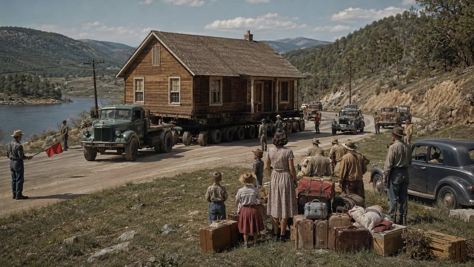
Experiences differed among owners, renters, business operators, and people whose land use was not fully recognized in formal records. Some accepted or welcomed a move; others contested valuation or mourned what money could not replace. A responsible account distinguishes the project’s regional benefits—such as water supply, power, or flood management—from the concentrated disruption borne by people asked to leave a particular place.
Buildings, graves, and roads did not share one fate
A town was not necessarily left intact beneath the water. Structures might be sold, moved, salvaged, burned, or demolished before filling. Cemeteries could be relocated through a documented process, while foundations and road grades remained. Utilities were removed or abandoned, vegetation cleared, and bridges altered. The surviving underwater landscape is usually the result of deliberate preparation as well as inundation.
That uneven process explains why low water may reveal walls in one area and little in another. An exposed foundation does not prove a house stood furnished beneath the lake for decades. Historic maps, acquisition files, photographs, and construction records are needed to reconstruct what was removed and what remained. The distinction matters because sensational “lost city” captions often substitute imagination for documented transition.
St. Thomas offers a documented example
St. Thomas was founded in 1865 in Nevada’s Muddy River valley and later served travelers on the Arrowhead Trail between Los Angeles and Salt Lake City. Farming supported the settlement, which reached a population of roughly five hundred and included a school, post office, stores, a church, and automobile garages. Its location placed it inside the future Lake Mead basin.
The National Park Service records that filling of Lake Mead began in 1935 after construction of Hoover Dam. Residents relocated as water rose; one of the last, Hugh Lord, left by boat in 1938. At the reservoir’s high-water mark, the town site lay about sixty feet below the surface. Lower levels later exposed roads and foundations, making a planned twentieth-century displacement visible again.
Reappearance does not mean rediscovery
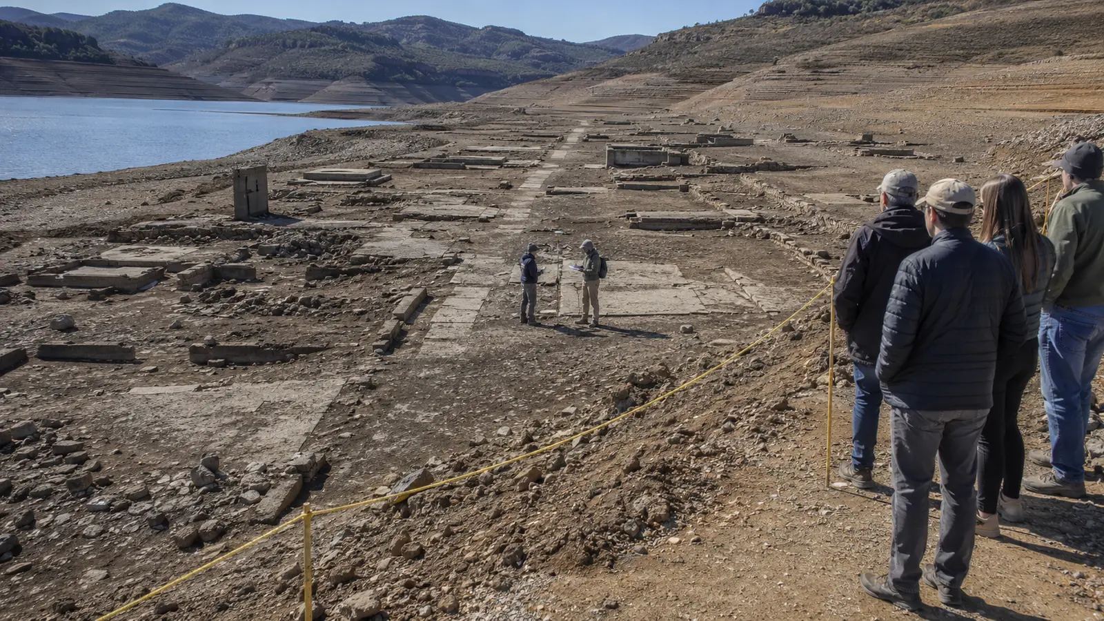
When ruins emerge during low water, headlines often say a forgotten town has returned. The language overlooks people who never forgot it. Former residents, descendants, local museums, and archives may have preserved names, stories, objects, and photographs throughout the period of inundation. At St. Thomas, reunions of former residents and family members took place in multiple years as water levels fluctuated.
Exposure also creates only a temporary view. Reservoir operations, runoff, and drought can change shorelines. Mud may be unstable, remaining walls fragile, and freshly accessible ground archaeologically sensitive. The site is not a new attraction created by low water; it is a cultural resource experiencing another environmental condition. Current management guidance must outrank photographs or directions published during a previous water level.
Visit an exposed town as a changing shoreline
Check the managing agency’s alerts, access route, weather, and water conditions immediately before travel. Reservoir shorelines can contain deep mud, heat exposure, sudden drop-offs, debris, and long distances without shade. Use designated parking and trails. Never drive across exposed lakebed unless it is explicitly open for that use, and do not enter water or structures to reach a feature.
Leave every object in place. Newly exposed metal, glass, ceramics, and building material are evidence, not souvenirs. Avoid climbing foundation walls or clearing sediment for a photograph. If a feature appears newly damaged or significant, document it from a safe position and contact the managing agency. An exposed town can be harmed rapidly by concentrated visitation precisely because the shoreline seems open and unregulated.
Tell the story beyond the dramatic waterline
A strong article pairs present-day remains with a map of the former road network, archival scenes of daily life, the project timeline, and accounts from displaced people. It states which claims come from agency records and which come from personal memory. It also acknowledges earlier Indigenous occupation and later regional benefits instead of reducing a complex project to either engineering triumph or uncomplicated tragedy.
Towns beneath reservoirs show that landscapes can change function without losing history. The lake may now supply recreation, water, or power, while the former community survives through documents, descendants, relocated structures, and place names. The most compelling question is not whether the town is still down there. It is how public decisions transformed one lived geography into another—and how both continue to shape memory.
Primary reference: National Park Service — St. Thomas, Nevada. This article uses original wording and editorial analysis rather than reproducing the source text.