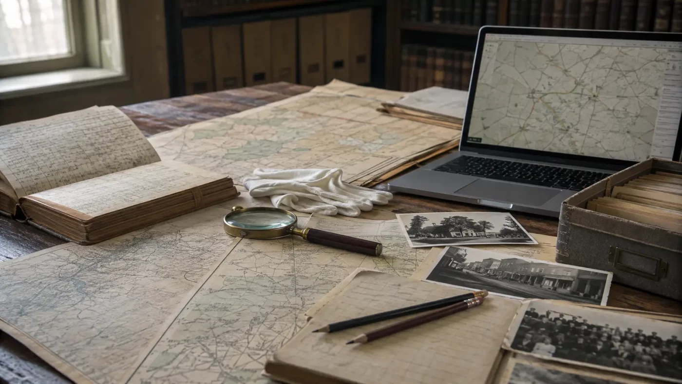
At a glance: A repeatable method for turning a viral image into a sourced local-history story.
Begin with the exact place name, county and state. Many communities share names, and social posts frequently attach a true caption to the wrong photograph.
How the place took shape
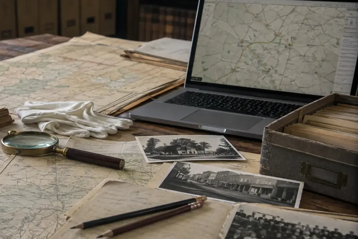
Search the National Register, National Park Service, state historic office and county records. Establish dates, industries and alternate names before building a narrative.
Historic topographic maps and fire-insurance maps reveal roads, building footprints and land use. Census records can show whether population decline was sudden or gradual.
Why the community changed
The Library of Congress, state archives and university collections may provide photographs with dates, creators and rights statements. Preserve those details when publishing.
Compare sources instead of copying the first summary. Local memories add texture but should be identified as recollections unless corroborated.
What remains today
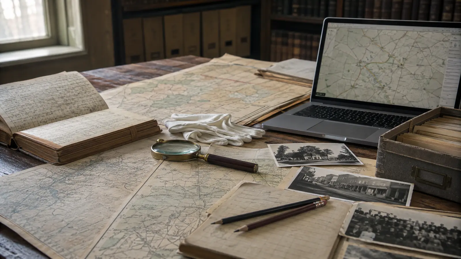
Create a timeline and separate what is known from what is inferred. Current access conditions require a present-day source, not a decades-old guidebook.
The Library of Congress Prints and Photographs catalog provides item records, download options and rights information for thousands of American places.
Why this story matters
When publishing, link the strongest sources and credit images accurately. Never imply that illustrative artwork is a historical photograph.
Places like this are often reduced to a single dramatic label—ghost town, ruin, failure—but the physical remains tell a more complicated story. Economic decisions, transportation networks, natural resources and public policy all shape whether a community grows, adapts or disappears. Reading the landscape carefully means remembering that these were workplaces and homes before they became destinations.
Primary reference: https://www.loc.gov/pictures/. This article summarizes public-history information in original language and adds editorial context; it does not reproduce the source text.