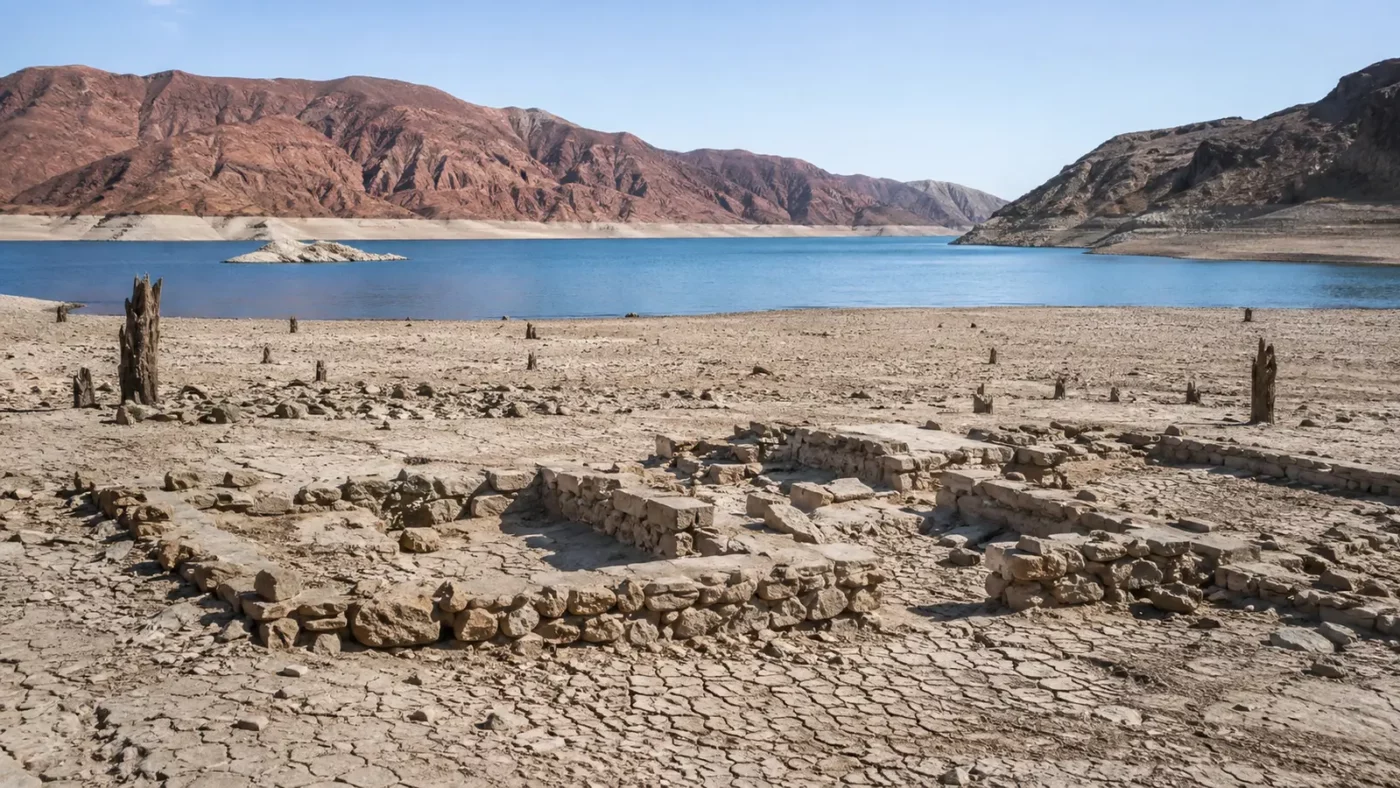
At a glance: Foundations of a former settlement that was inundated as Lake Mead filled.
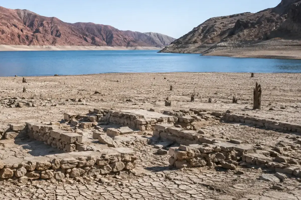
A town site once covered by more than sixty feet of water is visible again near the Overton Arm of Lake Mead. The exposed foundations of St. Thomas turn changing water levels into a direct encounter with regional history.
How the place took shape
St. Thomas began as a nineteenth-century settlement in the Muddy River valley and later served travelers on the Arrowhead Trail between Los Angeles and Salt Lake City. Farms, homes and businesses depended on the river landscape.
Residents built community institutions in a desert environment long before the reservoir. Their town occupied valuable low ground, the same geography that placed it within the future lake.
Why the community changed
Construction of Hoover Dam transformed the Colorado River system. As Lake Mead rose in the 1930s, residents left and water eventually covered the settlement.
The inundation was planned infrastructure change, but that does not make the personal cost abstract. Property, roads and familiar landscapes were surrendered to a project serving a much larger region.
What remains today
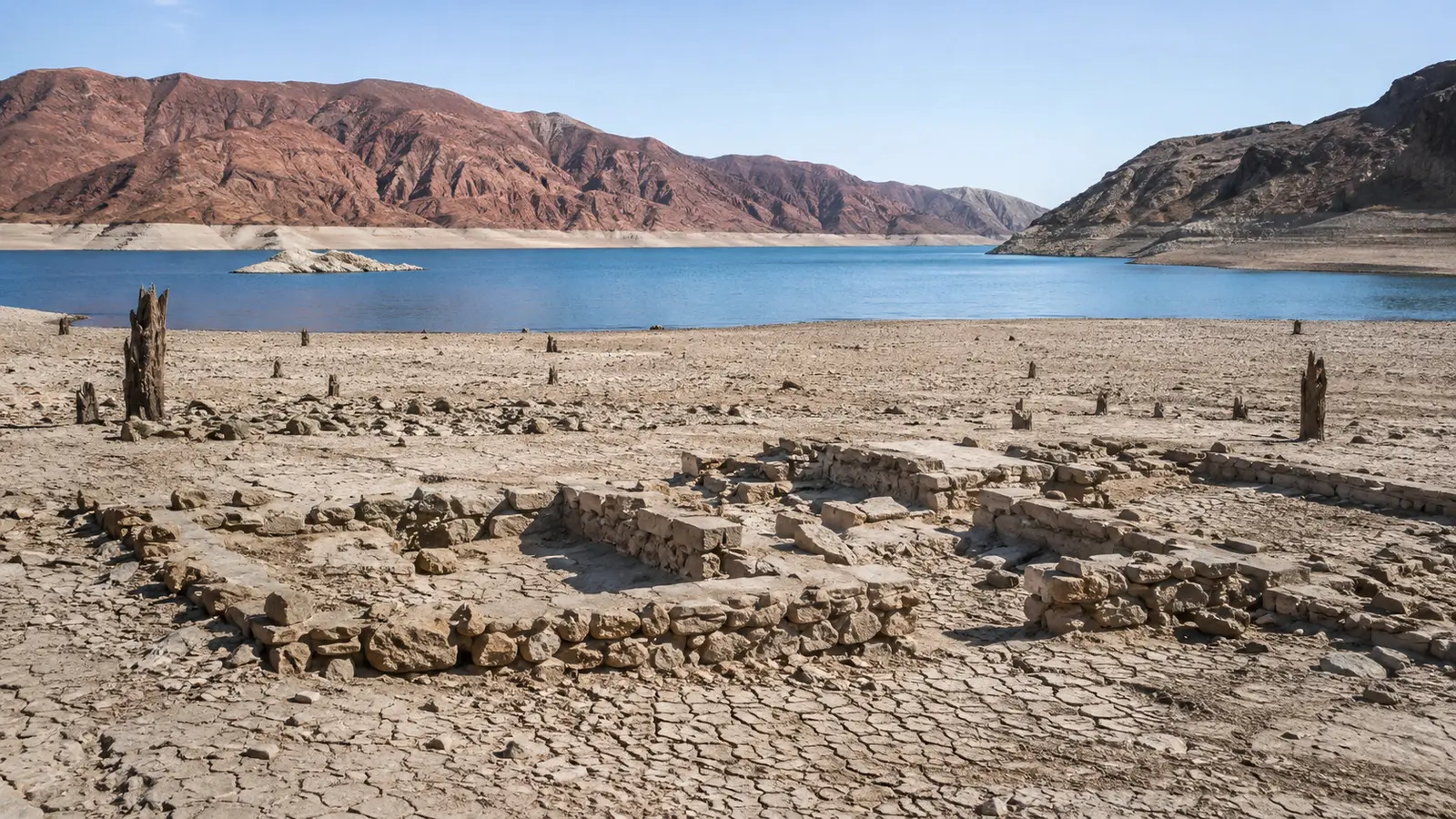
Lower water levels have exposed walls, foundations and traces of streets. The site lies within Lake Mead National Recreation Area and is reached by a dirt-road approach and trail described by the park.
Desert heat, road conditions and reservoir operations matter. Visitors should consult current National Park Service alerts, carry water and remain on appropriate routes.
Why this story matters
St. Thomas connects water policy to lived experience. Reservoirs can produce power and water security while permanently altering communities and landscapes upstream.
Places like this are often reduced to a single dramatic label—ghost town, ruin, failure—but the physical remains tell a more complicated story. Economic decisions, transportation networks, natural resources and public policy all shape whether a community grows, adapts or disappears. Reading the landscape carefully means remembering that these were workplaces and homes before they became destinations.
Primary reference: National Park Service — St. Thomas, Nevada. This article summarizes public-history information in original language and adds editorial context; it does not reproduce the source text.