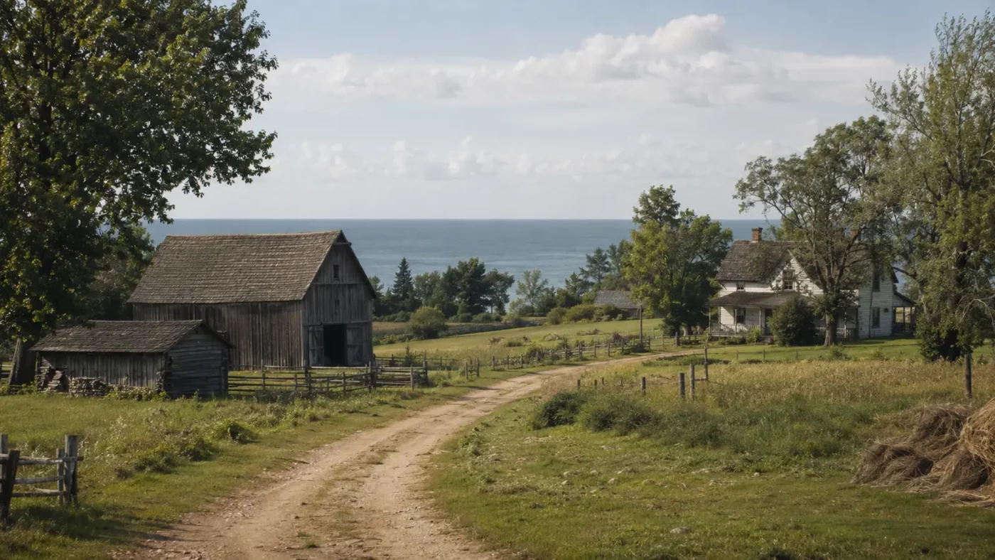
At a glance: A preserved rural landscape connected to farming, fishing and Great Lakes settlement.
Port Oneida does not look like a cinematic Western ghost town. Its farms, roads and surviving buildings are spread across a broad landscape, which is precisely why it reveals another way communities disappear.
How the place took shape
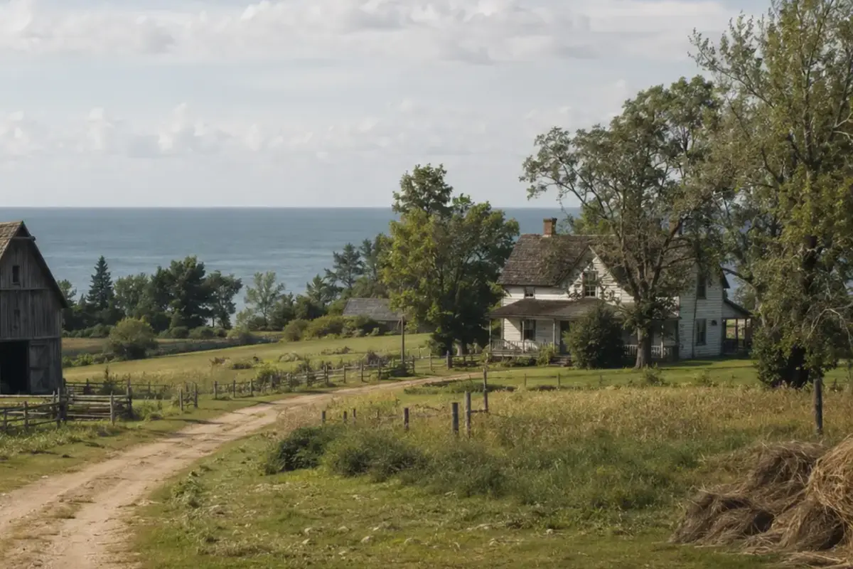
European settlers established farms near Lake Michigan in the nineteenth century, supplementing agriculture with fishing and transport. A dock connected the settlement to movement along the lake.
Families adapted to difficult soils, weather and distance by combining work and relying on community networks. The village center mattered even when many residents lived on surrounding farmsteads.
Why the community changed
The original town site was fully abandoned by 1934, although descendants and nearby farm families maintained connections to the area. Transportation and economic patterns shifted away from the small lakeside center.
Instead of a single catastrophic ending, Port Oneida experienced dispersal. Community functions moved or ended while the cultural landscape retained barns, fields, homes and roads.
What remains today
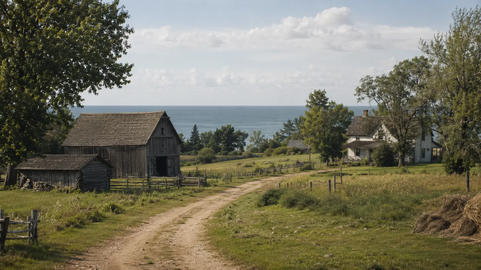
Today the area is preserved within Sleeping Bear Dunes National Lakeshore and forms a large National Rural Historic District. The landscape rewards slow observation rather than a search for one dramatic ruin.
Use designated roads and trails and respect closed buildings and neighboring property. Seasonal conditions can change access to rural sites.
Why this story matters
Port Oneida expands the meaning of a vanished place. A community may survive in family memory and land patterns even after its commercial center disappears.
Places like this are often reduced to a single dramatic label—ghost town, ruin, failure—but the physical remains tell a more complicated story. Economic decisions, transportation networks, natural resources and public policy all shape whether a community grows, adapts or disappears. Reading the landscape carefully means remembering that these were workplaces and homes before they became destinations.
Primary reference: National Park Service — Ghost Towns of Sleeping Bear Dunes. This article summarizes public-history information in original language and adds editorial context; it does not reproduce the source text.