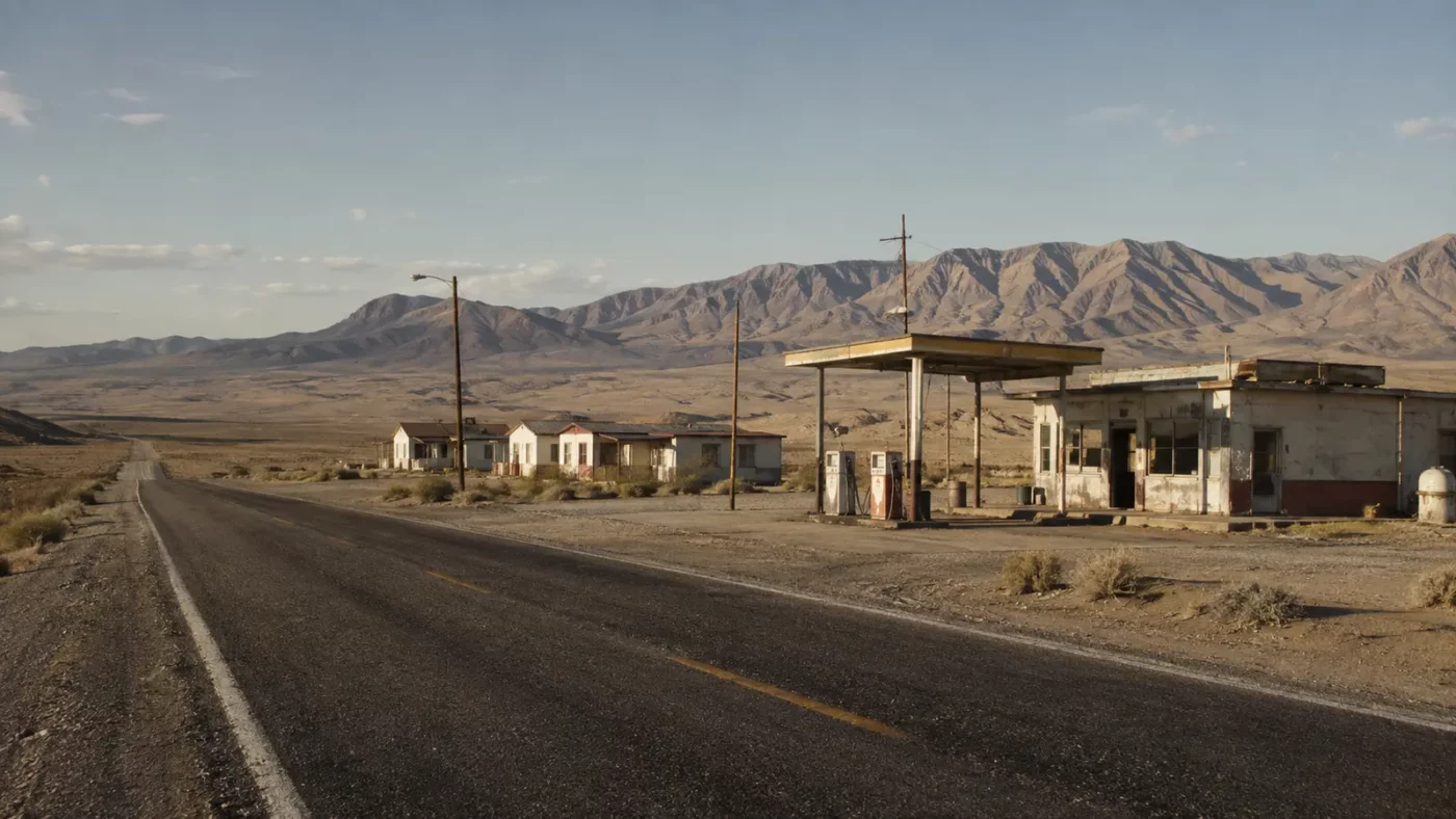
At a glance: A tiny desert settlement associated with coal, borax and later highway travel.
Coaldale’s surviving structures sit in a broad Nevada landscape where distance defined both opportunity and vulnerability. A small change in traffic or local industry could have outsized effects.
How the place took shape
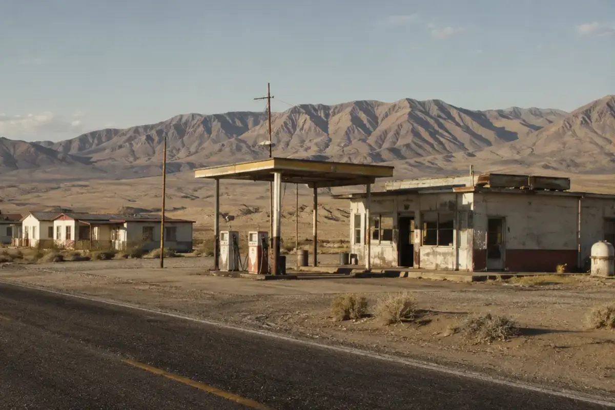
The site was associated with coal mining and borax work in the early twentieth century. Later roadside functions served travelers crossing an isolated region.
A limited population meant few buffers against business closure. Fuel, lodging and transport demand mattered as much as extractive work.
Why the community changed
Industrial activity failed to create lasting growth, and later roadside businesses closed. The settlement lost its remaining residents and services.
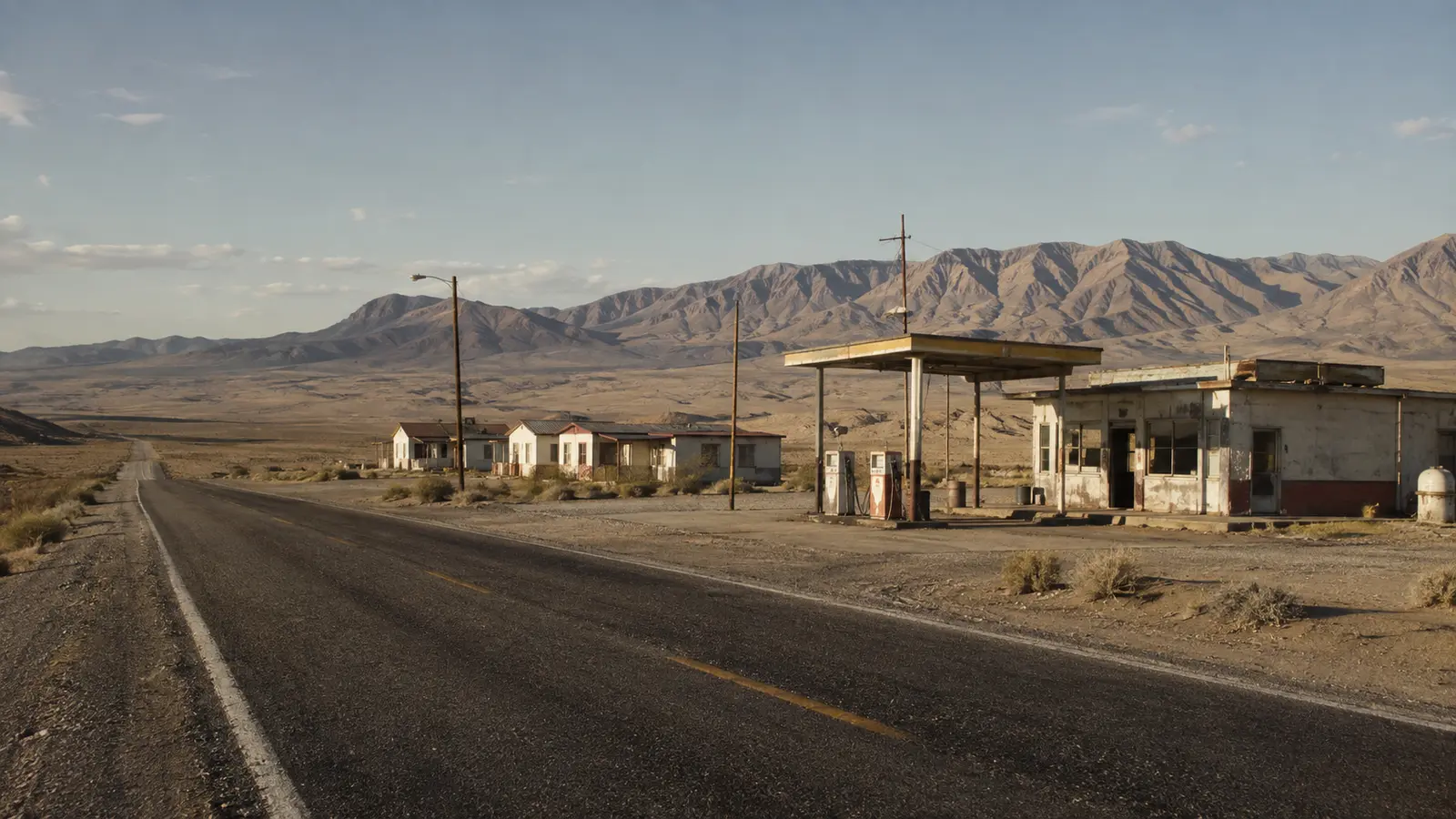
Graffiti and vandalism became part of the visible modern condition, demonstrating how quickly unprotected places can lose historical fabric.
What remains today
The Library of Congress includes Carol M. Highsmith photographs of Coaldale in its broad visual record of the United States.
The site’s abandoned appearance does not eliminate ownership or safety concerns. View from lawful areas and do not enter structures.
Why this story matters
Coaldale links two common causes of disappearance: a weak resource economy and the fragility of businesses dependent on passing traffic.
Places like this are often reduced to a single dramatic label—ghost town, ruin, failure—but the physical remains tell a more complicated story. Economic decisions, transportation networks, natural resources and public policy all shape whether a community grows, adapts or disappears. Reading the landscape carefully means remembering that these were workplaces and homes before they became destinations.
Primary reference: Library of Congress — Coaldale, Nevada. This article summarizes public-history information in original language and adds editorial context; it does not reproduce the source text.