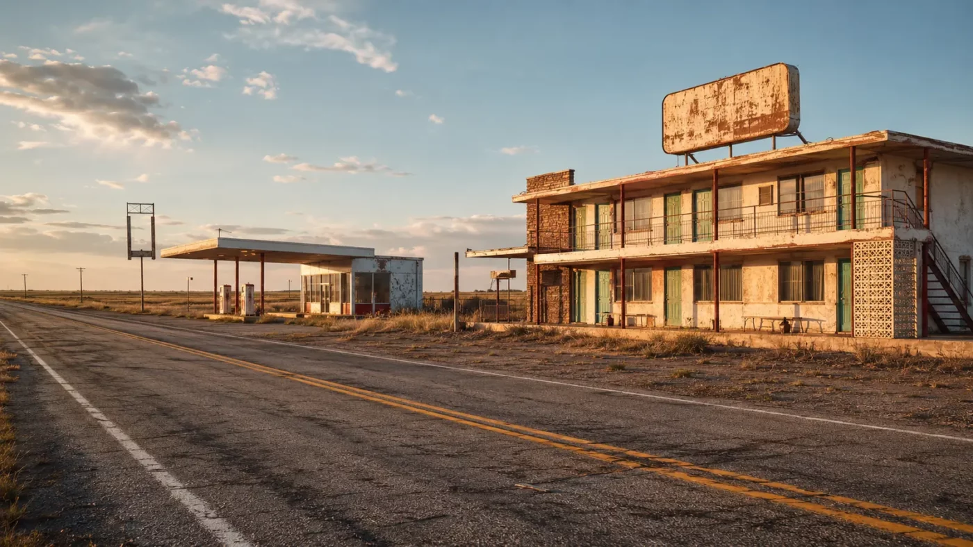
At a glance: A state-line community whose livelihood depended on travelers moving along Route 66.
At Glenrio, an old roadway crosses the Texas–New Mexico line beside motel, diner and service-station buildings that once translated traffic into a local economy. The silence makes sense only when the missing cars are imagined.
How the place took shape
The community grew with the railroad and then adapted to highway travel. Route 66 brought a steady stream of motorists who needed fuel, meals, repairs and a place to sleep on the long journey between Chicago and California.
Its position on a state boundary influenced local business. Travelers remembered signs promising the first or last motel in Texas, while the road itself supplied the audience that kept small enterprises alive.
Why the community changed
Interstate 40 bypassed Glenrio in 1975. The new road was faster and safer for through traffic, but it diverted customers away from the storefronts whose locations had once been an advantage.
Businesses closed as traffic disappeared. The town did not need to be physically destroyed to lose its economic purpose; a transportation decision was enough to redraw its future.
What remains today
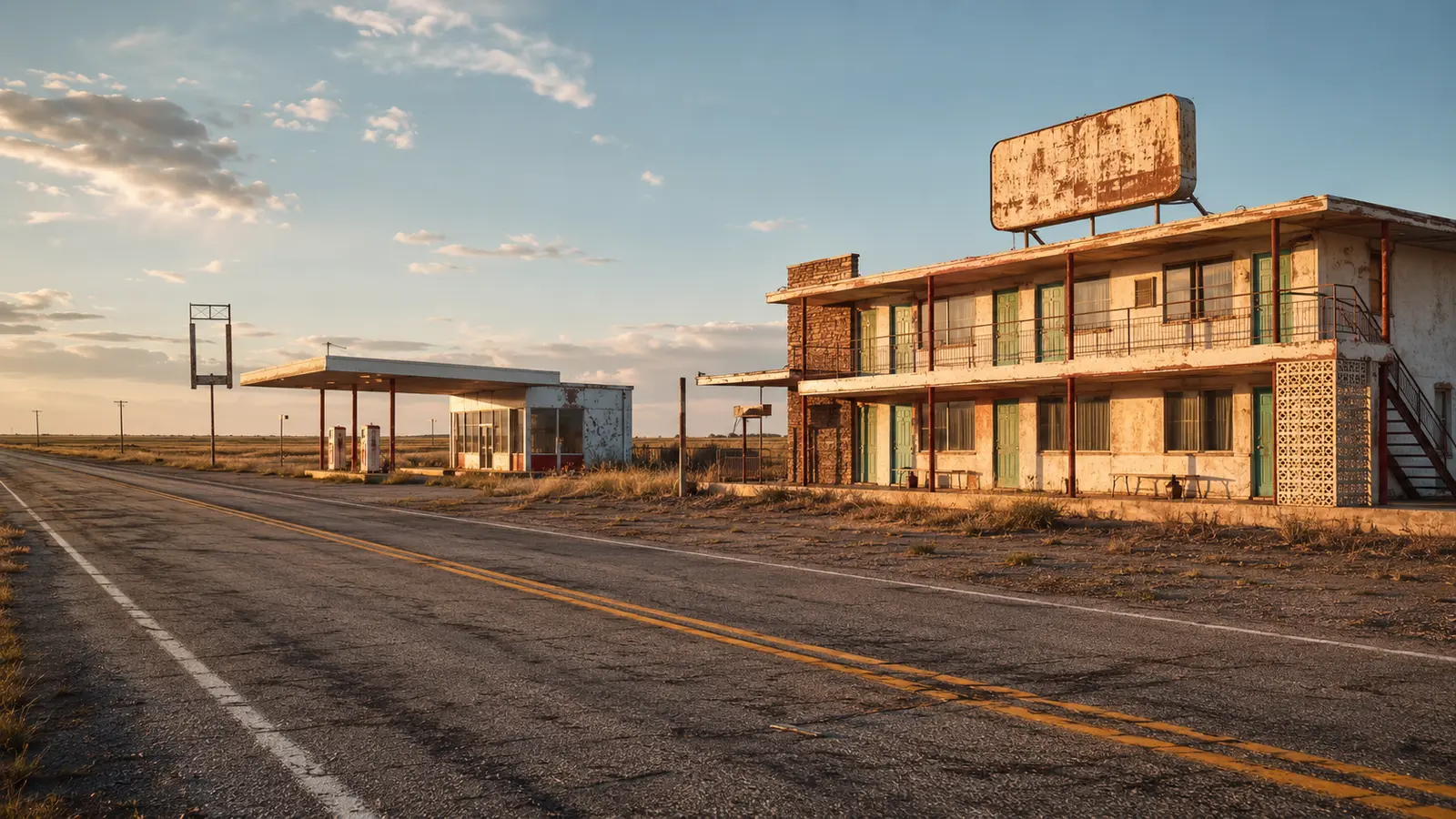
The Glenrio Historic District includes the old Route 66 roadbed and a collection of abandoned buildings. The district was listed in the National Register of Historic Places in 2007.
The historic road can evoke the scale of mid-century travel, but structures should be viewed from lawful public areas and current local guidance should be checked before a trip.
Why this story matters
Glenrio is a clear lesson in infrastructure. Highways do more than connect places: exits, alignments and bypasses decide which communities motorists see and which become invisible.
Places like this are often reduced to a single dramatic label—ghost town, ruin, failure—but the physical remains tell a more complicated story. Economic decisions, transportation networks, natural resources and public policy all shape whether a community grows, adapts or disappears. Reading the landscape carefully means remembering that these were workplaces and homes before they became destinations.
Primary reference: National Park Service — Glenrio Historic District. This article summarizes public-history information in original language and adds editorial context; it does not reproduce the source text.